Interactive Viewer (Scroll to zoom, drag to pan)
Exploring the World in 3D
Remote Sensing | Lidar | Computer Vision
I am a Senior Scientist specializing in hyperspectral imaging and 3D point cloud processing, currently focused on agricultural and forestry reconstruction for the USDA STTR program.

About Me
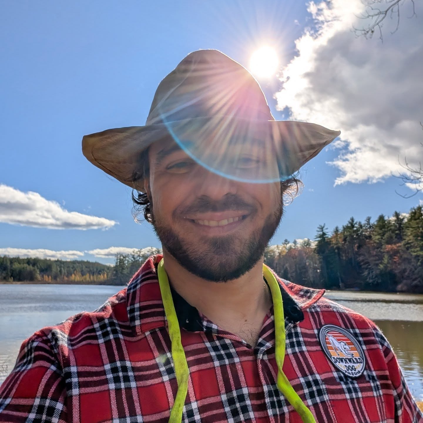
Hi, I'm Cory. I'm a Senior Scientist specializing in applied remote sensing, natural resource monitoring, and hardware/software integration. I currently work at Spectral Sciences, Inc. in Burlington, MA, where I collaborate with brilliant people to build awesome stuff!
My approach is characterized by a "Servant Leadership" philosophy, prioritizing clean, container-ready Python and modular architectures.
Beyond the code and the clouds, I enjoy fishing, kayaking, hiking, cooking, and supporting the Red Sox, Spurs, and LSU Tigers. I am also an avid photographer; you can view my flower photography album here and view my reading list here.
My scientific research and publications can be found on my Google Scholar profile.
I'm a proud member and Chaplain of the Medford Malden Elks Lodge #915.
Above all, my greatest joy is my family. I am incredibly grateful for the love and unwavering support of my beautiful wife, Amanda. We celebrated our 5-year wedding anniversary in August 2025, and she makes all of these adventures—both technical and outdoors—possible.
Data Pipelines
3D Vision
DevOps
Community
Selected Work & Code
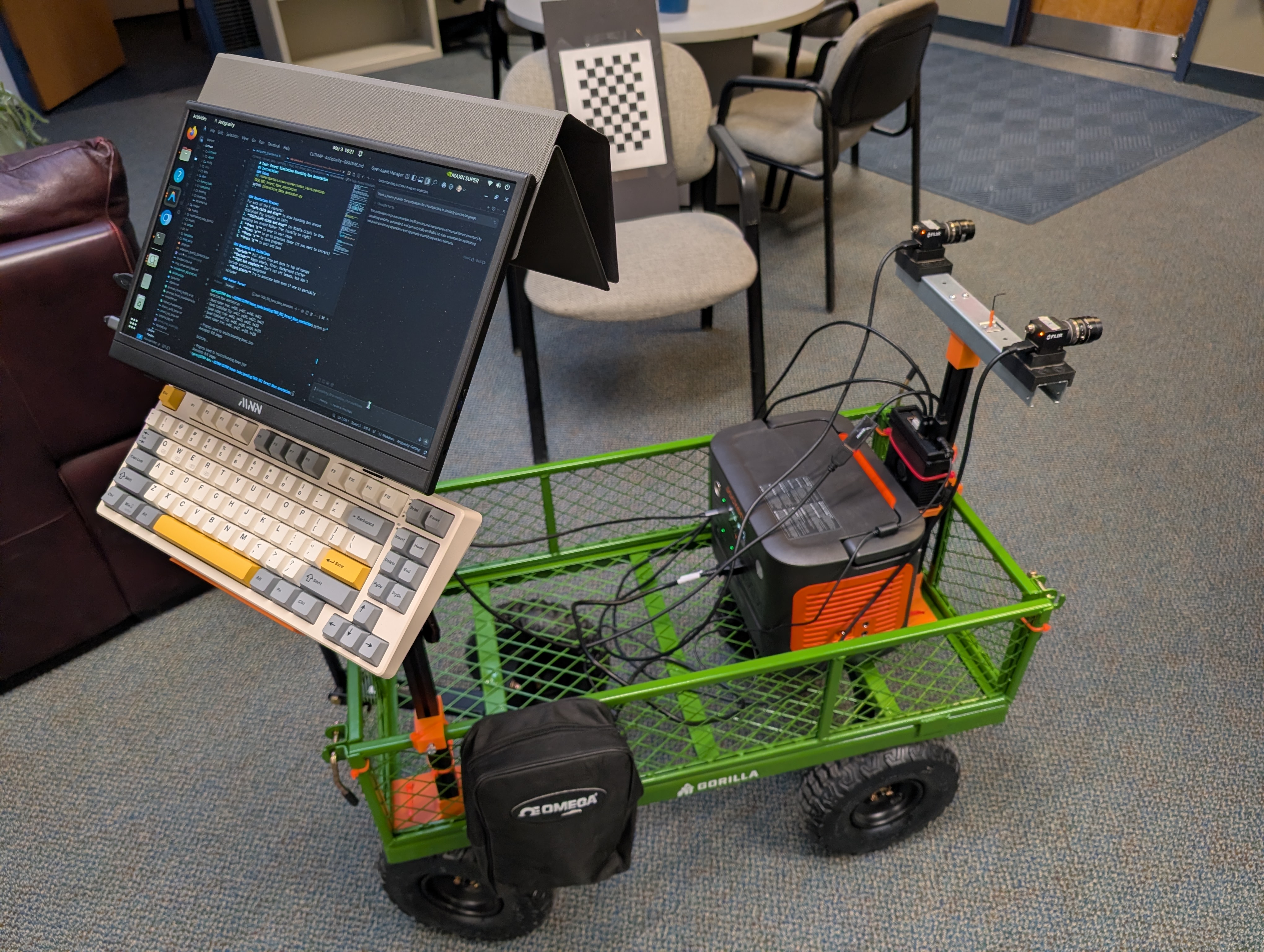
USDA STTR: Forest Reconstruction
High-resolution 3D point cloud processing pipeline for agricultural and forestry analysis using Python and Lidar.
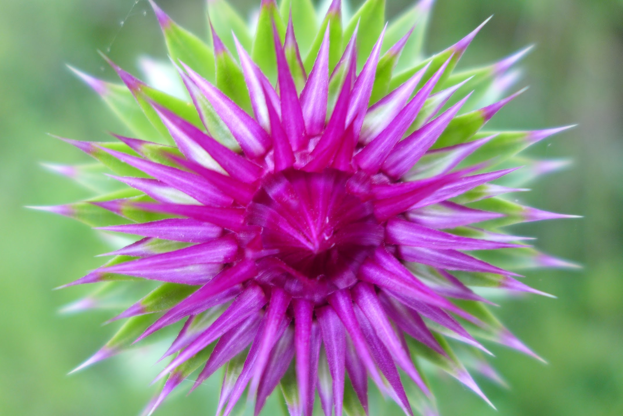
Flower Photography Collection
A personal catalog of my floral photography across various expeditions and hikes.
Sox Tracker
A data-driven tracker for Boston Red Sox games, featuring historical stats and retro visuals.
Spurs Tracker
A dedicated tracker for San Antonio Spurs game schedules, stats, and live updates.
Ufc Scraper
A public GitHub repository.
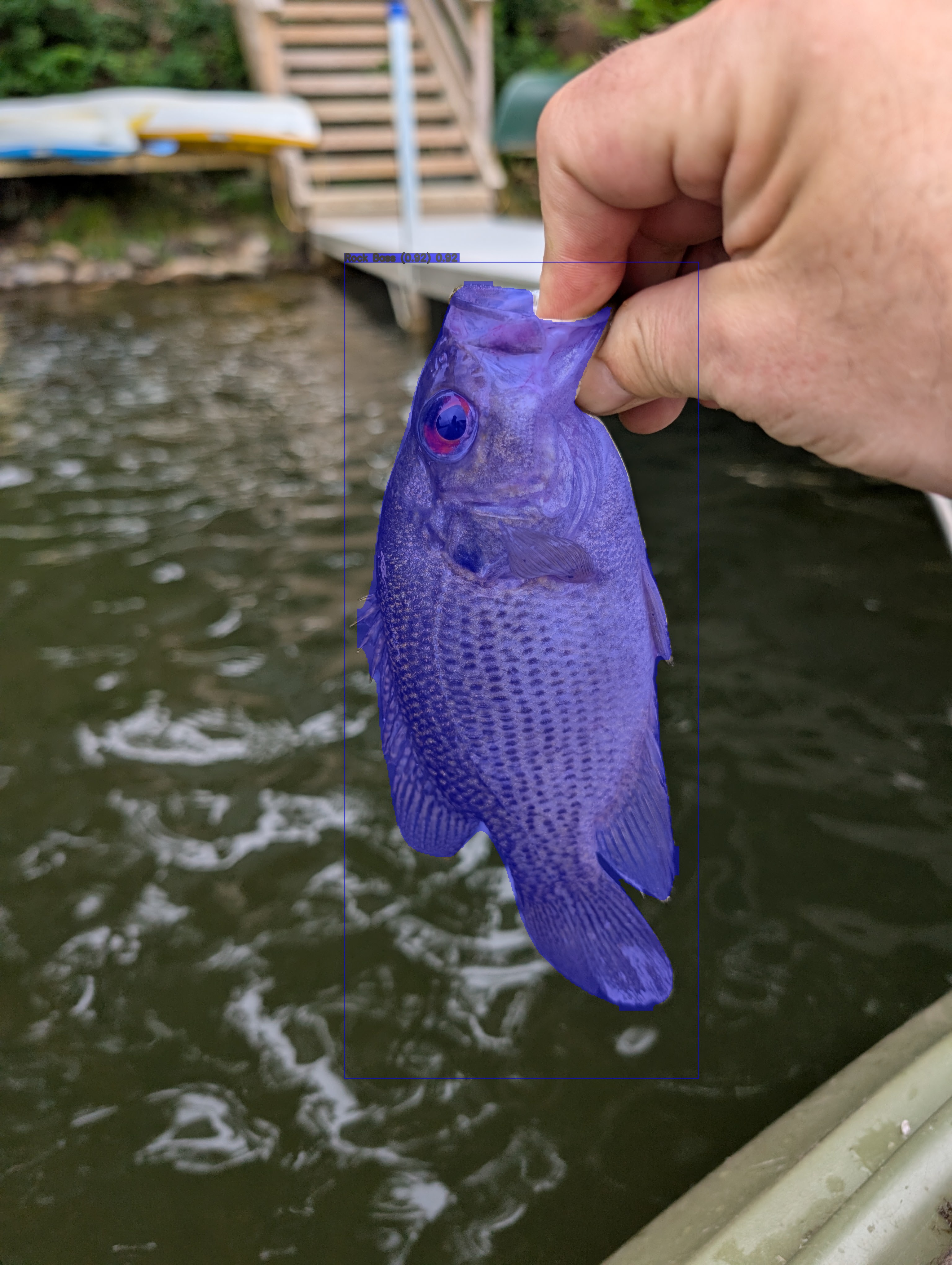
Bass Detector
A Computer Vision pipeline for real-time identification and detection of North American Bass species.

Hsi Pipeline
A scientific Python pipeline for processing hyperspectral data

Lidar Canopy Extractor
Python pipeline for Lidar point cloud classification and Canopy Height Model (CHM) generation
Get in Touch
Whether you want to discuss computer vision, remote sensing, UAS, or just talk sports, feel free to reach out using the form below!